The Center of Portugal has a huge diversity of landscapes and has numerous trekking routes that will take you to know beautiful landscapes and places of great historical and cultural significance. There are shorter walking routes, which do not require much physical preparation, but there are longer ones, recommended for those who are used to hiking and are in good physical shape. The intense contact with nature will be permanent and, among the suggestions of All About Portugal, you will also find paths more oriented towards introspection and related to Faith.
Linhas de Torres' Great Route

Located in the west of Central Portugal, north of Lisbon, this Great Route uses what is considered to be the most effective European military construction in history, capable of causing discomfort to Napoleon Bonaparte. Conceived more than 200 years ago to defend Lisbon from French invasions, this unusual military system has been classified as a national monument since 2019. In this Great Route, which extends over a wide territory between the Tagus River and the Atlantic Ocean, it is possible to observe more than 100 military structures, including forts or roads, which are spread across six municipalities. The route takes place along agricultural and forest landscapes, with uneven ground, and crosses hills and valleys, traditional paths and sections of old military roads, some used by Portuguese and British troops. The Great Route has several sections, the largest being the one in Torres Vedras with 112 kilometers.
Pedestrian Routes of the Serras de Aire e Candeeiros
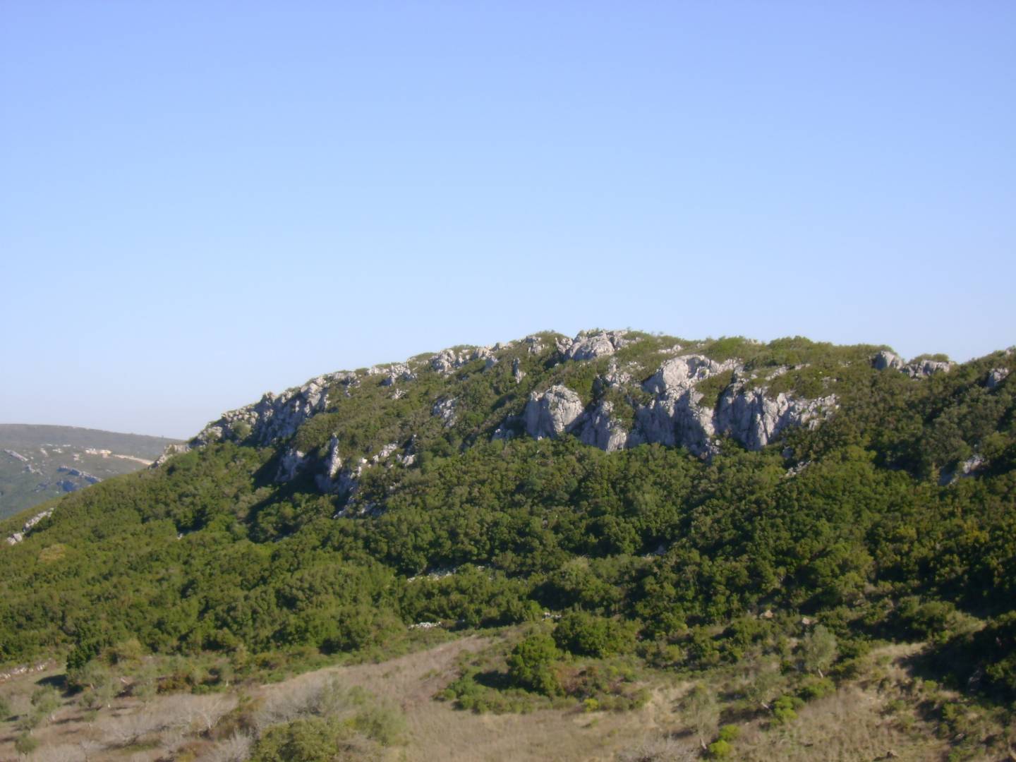
The Serras de Aire e Candeeiros Natural Park is a protected area of 39 thousand hectares, spread over the municipalities of Alcobaça and Porto de Mós, in the district of Leiria, and also of Alcanena, Ourém, Santarém and Torres Novas, in Ribatejo. In this area of great geological interest, which has a vast natural and cultural heritage, there are 16 walking routes recognized by the Conservation of Nature and Forests Institute. One of the smallest, and by the way the most beautiful, is Olhos de Água do Alviela. It is a kilometer and a half long, starts and ends at the River Beach, it is possible to see the spring and near the end you can see the Sumidouro, the spot where the stream penetrates the ground. With about three kilometers, the route of the Marinhas de Sal de Rio Maior, with eight centuries of history, is another trekking trail much sought after for the beauty and scenery that goes along the experience.
Zêzere Great Route
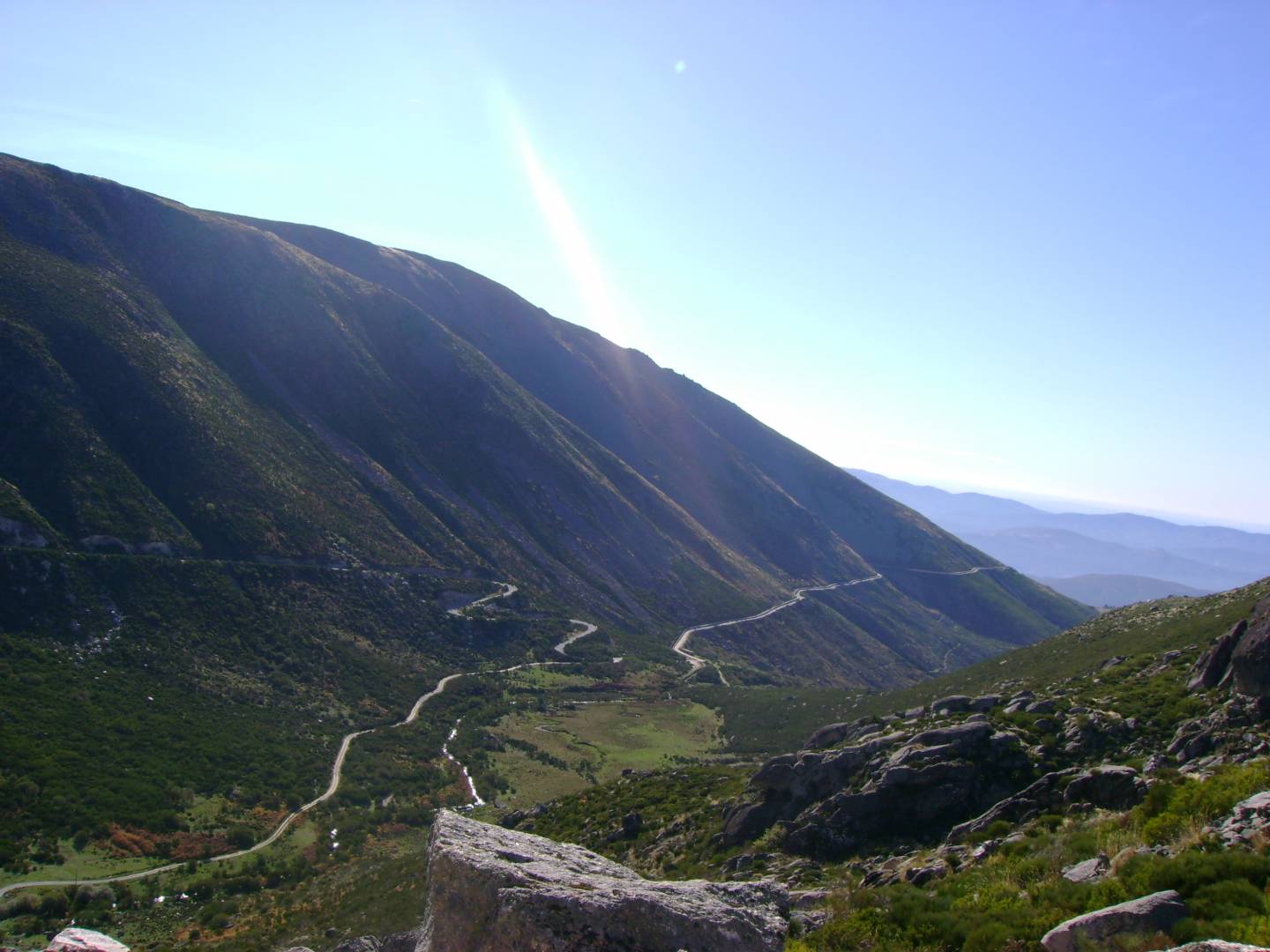
The beautiful Serra da Estrela, the highest mountain in mainland Portugal, is the starting point of this Great Route as it is where the Zêrere River is born, the common denominator of this 370 kilometer route, which takes us to the mouth of the river in Constância, in the Santarém district. The starting point is the unforgettable Covão d’Ametade, in the municipality of Manteigas, at an altitude of 1,400 meters. The Schist Villages, the Castelo de Bode Dam and the intersection with the Tagus River are other reasons of interest on this challenging route that crosses 13 municipalities in the districts of Guarda, Castelo Branco and Santarém. In addition to the pedestrian paths, where the richness of the fauna and flora of the region can be observed, the path can be done by bicycle or canoe, with multimodal circuits in each “stage”. There are 13 intermodal stations scattered along the route, although their use requires prior appointment with the respective municipalities.
Historic Villages of Portugal Great Route
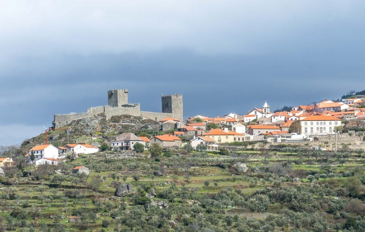
This is another very interesting trekking route in the inland Center of Portugal,and it crosses 12 Historic Villages: charming places with great historical and cultural significance, in the districts of Guarda and Castelo Branco; and also Piódão – nicknamed “Flinstones Village” by the North American Huffington Post – in the district of Coimbra. Altogether, this Great Route is almost 600 kilometers long, divided into several stages. The shortest is the one that connects Idanha-a-Velha to Monsanto, both in the municipality of Idanha-a-Nova, over a distance of 12 kilometers, and the longest, which we recommend taking in more than one day, is the one that unites Piódão to Castelo Novo, in Fundão, which is 82 kilometers long. This Great Route saw the European Ramblers Association award it the Leading Quality Trails – Best of Europe seal, which distinguishes the best hiking destinations in Europe, taking into account factors such as the quality of the trails and their cultural and natural wealth.
Mondego Walkways
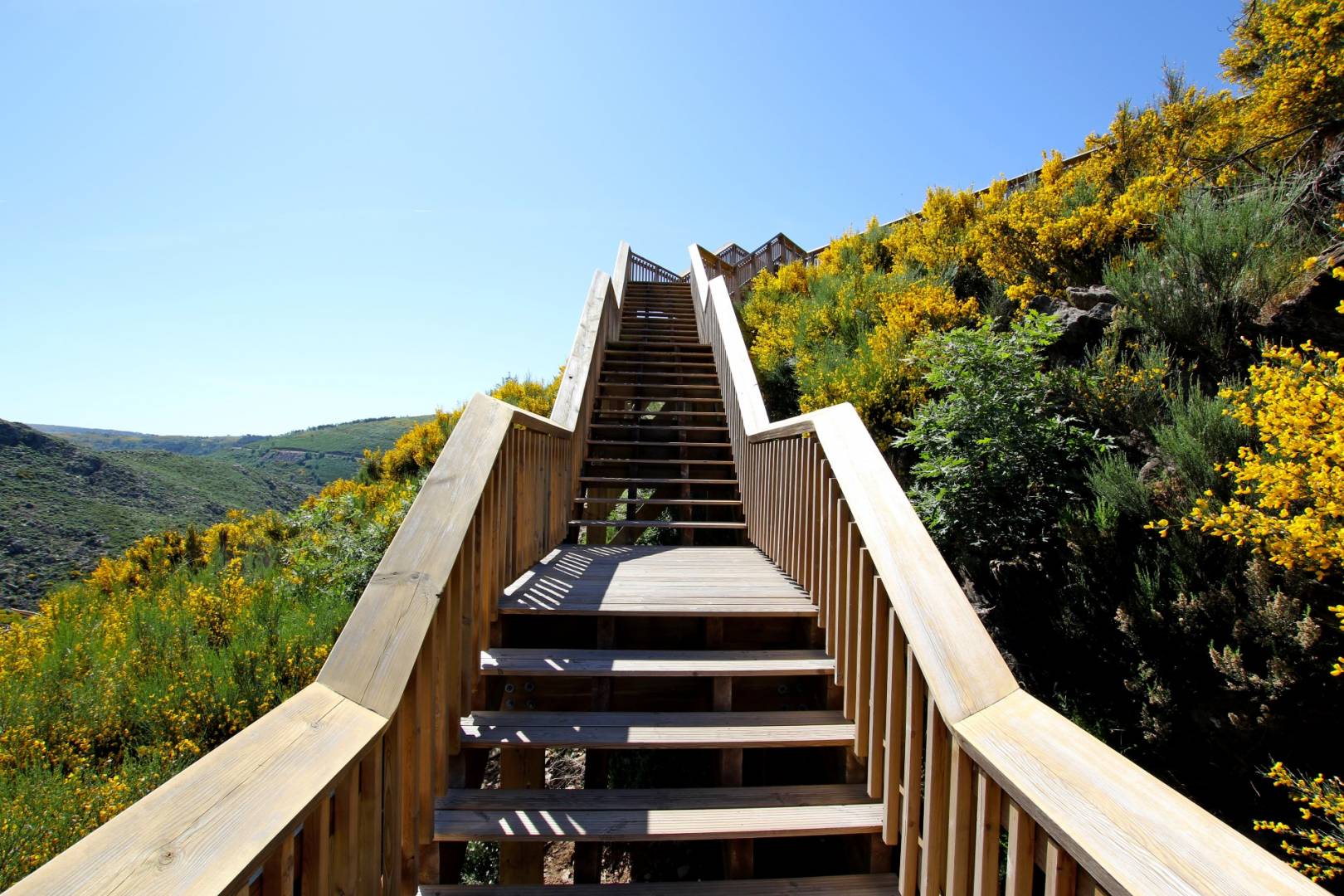
The Mondego Walkways, created in the municipality of Guarda, about 15 minutes from the city, provide a stupendous view with a breathtaking landscape in an area that belongs to the Serra da Estrela Natural Park. The route is 12 kilometers long and is mostly done in the company of the Mondego River, on a path that begins at the Videmonte village, passes through the neighboring towns of Trinta and Vila Soeiro and ends at the Caldeirão Dam, with its incredible sparkling water mirror. There are about seven kilometers of wooden walkways, between flat areas and many stairs, which wind along the slopes of the mountain and promise to amaze anyone who takes this route, which also includes crossing bridges and reusing old paths.
Carmelite Route
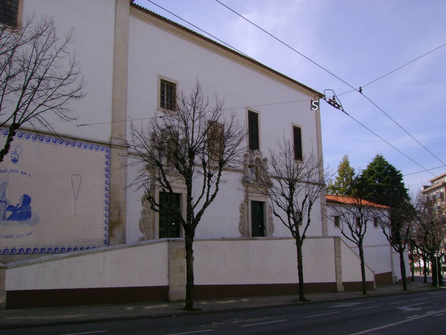
The Fátima Sanctuary, which receives millions of visitors a year, is the destination of this route traditionally used by pilgrims who depart from the Carmelo de Santa Teresa, in Coimbra, as a demonstration of faith. There are 111 kilometers that cross six municipalities in this area of Central Portugal, in a safer and more comfortable alternative route compared to the main road axes. The Carmelite Route invites you to walk for miles in an act of faith or personal fulfillment, inspired by the life and work of Sister Lúcia, one of the visionaries of Fátima. This is one of the many Paths to Fátima, which depart from different spots towards the largest sanctuary in the country. However, this route is not only for believers, as it offers beautiful scenery of strong natural wealth, where water courses and mountain ranges stand out, in addition to the fauna and flora, characteristic of this region.
Great Mondego Route
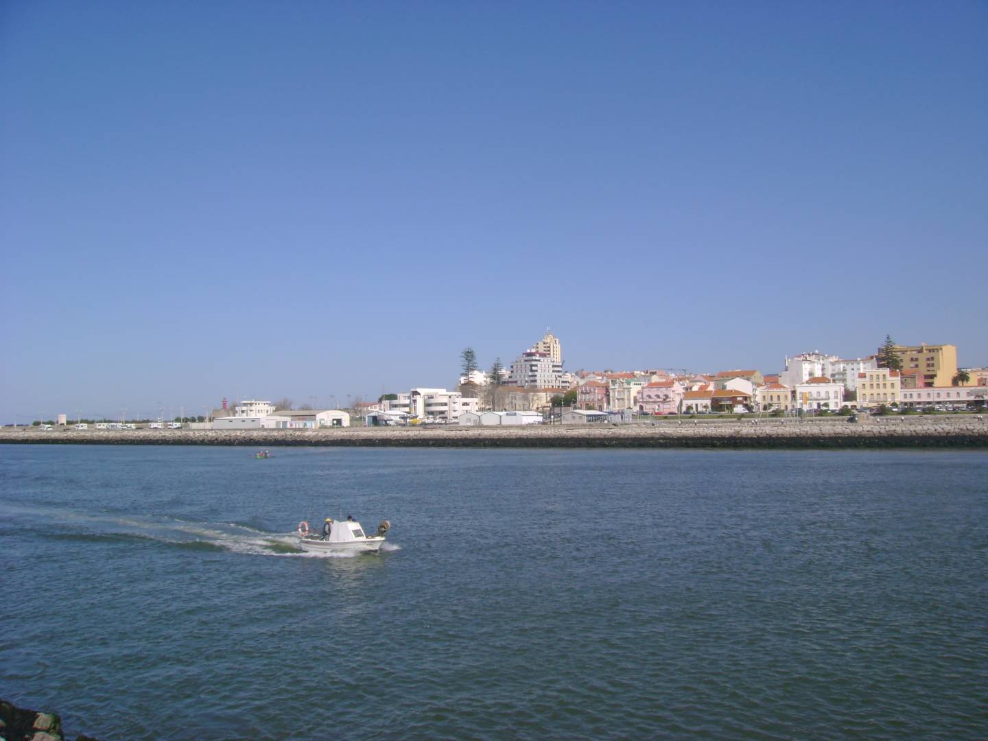
The beaches of Figueira da Foz, Coimbra, “the city of students”, or the Aguieira Dam are just some of the many points of interest that the Great Mondego Route offers along its 142 kilometres. The route covers the municipalities of Figueira da Foz, Montemor-o-Velho, Coimbra, Penacova, Tábua and Oliveira do Hospital. Most of the route is made in the company of the Mondego River, the largest Portuguese river, and it is on this pleasant setting that it is possible to observe a large number of places of scenic, natural, historical and cultural interest. The colors of the Baixo Mondego rice fields, the uniqueness of the water mills and the beauty of the dams, terraces and "levadas" will make you fall in love. We suggest that you take this route divided into several stages, starting in Oliveira do Hospital and ending in the setting of one of the beautiful beaches of Figueira da Foz.
Great Bussaco Route
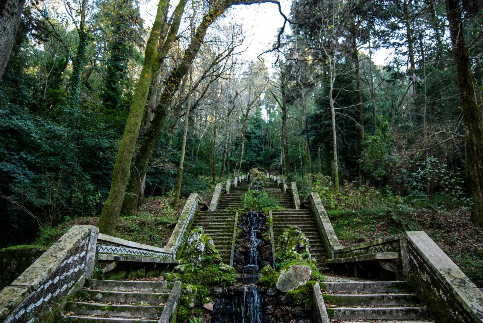
The magnificent Mata Nacional do Bussaco, classified as a national monument together with the beautiful Palace Hotel do Bussaco, is the central element of this 56 kilometer route that covers the municipalities of Mealhada, Penacova and Mortágua. Each of the municipalities in this territory, with great natural choices, has its section towards Mata, whose biodiversity is highly appreciated. The one that starts from Mealhada is the easiest to do with 12 kilometers, while the walking routes that start in Mortágua and Penacova are, respectively, 21 and 23 kilometers. If you are a nature tourism lover, this is one of the trekking trails you cannot miss in Central Portugal. The "Mata" (forest) is more than 100 hectares long and has a remarkable variety of flora and fauna. Take the opportunity to replenish your energy sitting at a table in one of the many restaurants in Mealhada to taste the dish that is the “ex libris” of this region, the "Leitão à Moda da Bairrada" (roast suckling pig).
Ria de Aveiro Great Route

With the beautiful Ria de Aveiro as an aggregating element, this Great Route is approximately 560 kilometers long, but don't be scared: you can get to know it gradually. It just needs time and will. There are three independent routes to take, each one with beautiful places to discover. The blue route is 130 kilometers long, passes through the Ria and its main channels, and has an average duration of six days. The green route shows the richness of the interior of the region in which it is inserted, with 194 kilometers to do in 10 days and is the most demanding route from a physical point of view, since it has high altimetry and accumulated unevenness. The longest route is the golden, with 233 kilometers to do in 11 days, it “dives” in coastal areas and crosses 11 municipalities. This Great Route presents a vast biodiversity, both in terms of fauna and flora, which promises to delight those who accept this challenge in which contact with nature is permanent.
Paiva Walkways
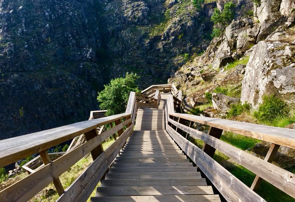
It is on the border between the North and Center regions of Portugal that these walkways are located, which became one of the main tourist attractions in the Arouca municipality, in the Aveiro district. Located on one of the banks of the Paiva River, the wooden walkways extend over almost nine kilometers, offering superb views in an area where nature has been very generous. The Aguieiras waterfall, that can be watched from an existing viewpoint on the Walkways, is an example of how much there is to appreciate on this trekking route. Inaugurated in 2015, the Walkways are located in the territory of the Arouca Geopark, recognized by UNESCO as a Geological Heritage of Humanity, and have already been distinguished with several awards from the World Travel Awards in the categories of “Best Adventure Tourism Attraction in the World”, “Best Tourism Development Project in Europe” and “Best Adventure Tourism Attraction in Europe”. Contrary to the other suggestions that we leave here, the entrance to Paiva Walkways is paid, except for children up to 10 years old.
Recommended
