Explore the best places
Country in Portugal
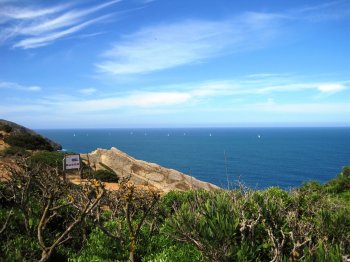
Canhão da Nazaré
- country
Nazaré
2450-065, Nazaré
The submarine valley known as the Nazaré Canyon is the largest in Europe and one of the largest in the world. Cutting across the continental shelf in a roughly east-west direction, it extends for more than 170 km in length and reaches a depth of over 5,000 meters in the abyssal plain where this canyon flows into the sea. This spectacular geomorphological feature of tectonic origin, related to the Nazaré-Pombal fault, begins to take shape about 500 meters from the coast. This submarine gorge causes significant alterations to coastal sediment transport, as this valley is a veritable sink for sediments …
Parque Fluvial do Souto do Rio
- country
Borralha
3750, Borralha
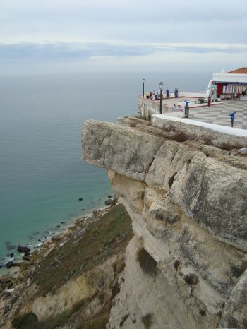
A large, heavily wooded park situated on the riverbank. It is equipped with picnic tables and benches and features a pleasant river beach.
Pedras Parideiras
- country
CM1237
4540, Castanheira
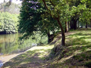
A unique phenomenon in Portugal and very rare worldwide, it consists of stones growing and detaching from their "mother stone," hence their popular name "birthing stones." To better understand these enigmatic rocks and the dynamics of the Arouca Geopark, it is worth visiting the Casa das Pedras Parideiras – Interpretation Centre.
Arouca Geopark
- country
Rua Abel Botelho, 4
4540-102, Arouca
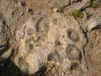
The Arouca Geopark encompasses the administrative area of the Municipality of Arouca, which has distinguished itself through its exceptional geological heritage of international relevance, recognized by the UNESCO European and Global Geoparks Network since 2009. The valuable and unique inventoried geological heritage covers a total of 41 geosites, with particular emphasis on the famous "Birthing Stones" of Aldeia da Castanheira (Serra da Freita) and the Giant Trilobites of Canelas.
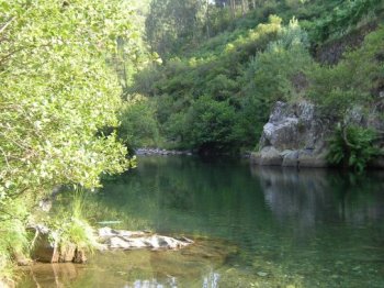
Passadiços do Paiva
- country
Espiunca
4544, Arouca
A walking tour along the banks of the Paiva River, starting in Espiunca or Areinho. The route covers a distance of 8 kilometers. At certain times of the year, it is also possible to participate in extreme sports activities.
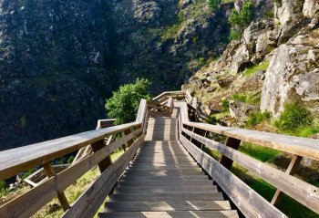
Boca do Inferno
- country
Avenida Rei Humberto II de Itália
2750-800, Cascais
This is the most spectacular accident in the coastal geological formation. It was once a cave carved into the rock by rainwater and the force of the waves, whose roof eventually collapsed. It is a place of great visual and auditory impact, well worth a visit.
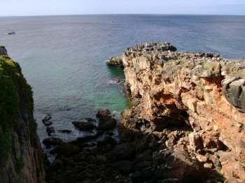
Paisagem Protegida do Corno do Bico
- country
Corno do Bico
4940, Favais - Moselos
This is a small natural sanctuary in the municipality. A space of rare beauty that has undergone some renovation work, without, however, endangering the species that live here. And there are many, both animals and plants. Wolves, roe deer, golden eagles, otters, etc. still inhabit this area.
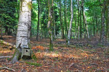
Zona Fluvial de Rio de Moinhos
- country
Rua de Ribeira
4575, Rio de Moinhos
A leveled area next to the Tâmega River, without any supporting structures, but very pleasant for a stroll. It is a suitable location for recreational fishing.
Parque Natural das Serras de Aire e Candeeiros
- country
Casais Monizes
2040-015, Alcobertas
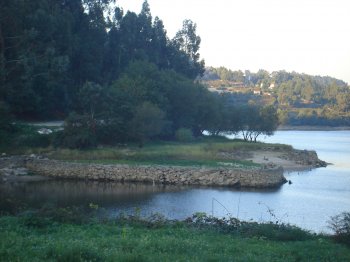
Anyone unfamiliar with the Aire and Candeeiros mountain ranges might think that their elevations of 577 and 613 meters respectively would be nothing extraordinary in terms of landscape. However, this massif, stretching between Ourém in the north and Rio Maior in the south, is a veritable kingdom of (limestone) stone. Besides the two mountain ranges that give it its name, it includes the Serra de Mendiga, the Santo António Plateau, and part of the São Mamede Plateau. Also, noteworthy is the Dinosaur Footprints Natural Monument.
Monumento Natural dos Lagosteiros
- country
Praia dos Lagosteiros - Cabo Espichel
2970-191, Sesimbra
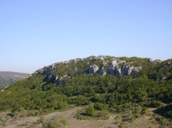
Classified as a Natural Monument since 1997, integrated into the Arrábida Natural Park, beneath the cliffs of Cape Espichel. The site consists of trails of bipedal dinosaur footprints, approximately 130 million years old, arranged in different orientations, created at a time when the region's terrain was flat, marshy, and swampy, which later transformed into limestone, preserving the footprint trails.
