Explore the best places
Results for Serra+da+Estrela in Portugal
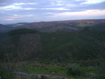
Serra de Alvelos
- country
Sorvel Cimeiro
6100, Sertã
A hill that is also known as Cabeço da Rainha. It belongs to the Old Massif, in the Beira Baixa region, between Sertã and Oleiros, in an area of woods and pine woods. It measures 20 km and reaches its peak (1084 metres) at Troviscal.
Serra da Nogueira
- country
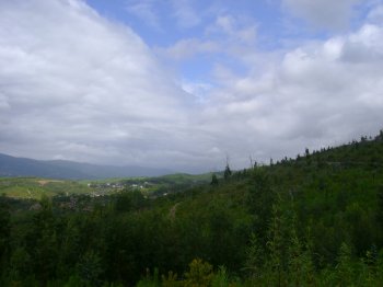
Serra da Nogueira
5300, Bragança
Located to the southwest of Bragançaand belonging to the Ancient Massif of Trás-os-Montes, this is a branch of the Montesinho mountain. It is 12.5 km long and 10 km wide and has its highest pont at 1319 metres. On the top, we find the Sanctuary of Our Lady of the Serra, a privileged belvedere. On its slopes several small rivers are born that have several fish species such as the common trout, the barbel and the eel among others. The fauna is impressively diverse and one should note the presence of wolves, foxes, boars, wild cats several birds and amphibuous. …
Serra do Buçaco
- country
Serra do Buçaco
3360, Sazes do Lorvão
The Cruz Alta (High Cross), at an altitude of 547 metres, is the highest pont of the Buçaco Mountain. The landscape is amazing, with views from the Boa Viagem Hill, at Figueira da Foz, to the Aveiro tidal stream. At this spot, surrounded by 5750 metres long and thre metres tall walls, one finds the Buçaco Woods.
Rio Zêzere
- beach
- country
Bouçã
3260-503, Bouçã
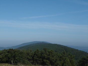
It is the second largest exclusively Portuguese river, after the Mondego, and originates in Serra da Estrela.
Serra de Grândola
- country
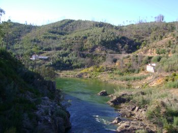
Serra de Grândola
7570, Grândola
The Mountain belongs to the Old Massif to the South of the Tejo and occupies the regions of Grândola and Santiago do Cacém. It has its highest peak at the Cume da Atalaia whre one can find the imposing ruins of the Church of Our Lady of Livramento. From the mountain one can view the ocean and the planes of the Alentejo region. It is 20 km long.
Serra de Mogadouro
- country
Mogadouro
5200, Mogadouro
Belonging to the Ancient Massif of Trás-os-Montes, this mountain is located in the extreme northwest of the national territory, between the Douro River and the Sabor River, rising to around 993 meters. The forest landscape has a predominance of pine and chestnut trees, interspersed with some cultivated spaces. The excellent viewpoints stand out: Pico de São Cristóvão and Alto da Castanheira.
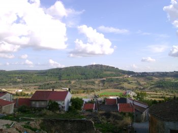
Miradouro da Serra de Santa Bárbara
- country
- leisure
Santa Bárbara
9700-471, Angra do Heroísmo
Site to provide privileged views over the lush slopes of the Serra de Santa Bárbara.
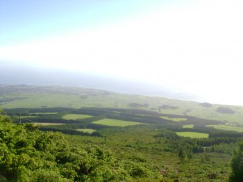
Serra das Meadas
- country
Serra das Meadas
5100, Lamego
The hill overlooks the town of Lamego. The Biological Park, with an area of 50 ha, is located on the Meadas Hill. It has a wild environment with many local plant and animal species. At the distance of 1 km, one finds the Meadas Hill Wind Farm that should be visited. Another obligatory visiting spt is the Meadas Hill belvedere, with imposing views of the granitical Marão Mountain and,way down below, by the Douro river, the town of Peso da Régua.
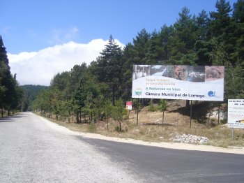
Serra do Larouco
- country
Serra do Larouco
5470, Montalegre
Located to the northeast of Montalegre, it belongs to the Old Massif. It measures 10 km and it is the second highest mountain in Portugal, with its peak at an altitude of 1527 metres, at the Fonte da Pipa (Barrel Fountain). From the top, one views the Lima, Tâmega, Cávado and Rabagão valleys, as well as several villages and the small town of Montalegre. Besides the landscapes, there are also horses and one can do mountain sports, such as hang gliding, paragliding, climbing and walks.
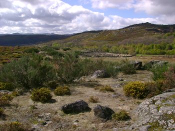
Miradouro de Nossa Senhora da Graça
- country
- leisure
EM 526
6050, Nisa
Belvedere located three kilometres from Nisa which offers a privileged view over the Serra de São Mamede and the Serra da Estrela.
