Explore the best places
Discover new places in Arganil
Mosteiro de São Pedro / Mosteiro de Folques
- heritage
Folques
3300, Folques
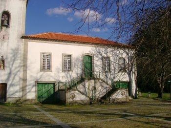
Former convent of the Crúzios friars, it probably dates back to 1162, having undergone several reforms over the centuries, the last being in the last quarter of the 20th century. Sixteenth-century cloister on two floors that has undergone several changes, with emphasis on the Manueline elements in the part facing east.
Museu Regional de Arqueologia e Etnografia de Arganil
- heritage
Avenida das Forças Armadas
3300-011, Arganil
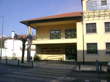
The Regional Museum of Archeology and Ethnography of Arganil includes the assets from the Roman military camp at Lomba do Canha (2nd century, Republic period) and dolmens 1 and 2 of Moinhos de Vento, Lomba do Canha, Arganil.
Praia Fluvial dos Moinhos de Alva
- beach
Praia Fluvial dos Moinhos de Alva
3305, Coja
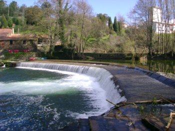
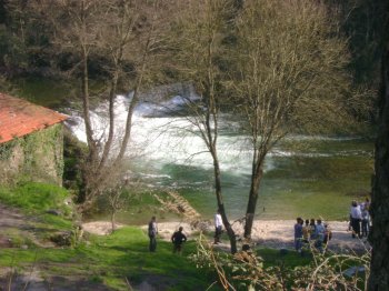
Bathing area located on the river Alva, very pleasant for a hot day.
Capela de São Pedro
- heritage
Rua Comendador Saúl Brandão - EN342-4
3300, Arganil
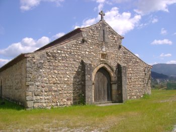
Granite temple dating from the 13th century (transition period from Romanesque to Gothic). The interior has three identical naves and apsidal chapels.
Queda de Água da Fraga da Pena
- beach
- country
Fraga da Pena
3305, Benfeita
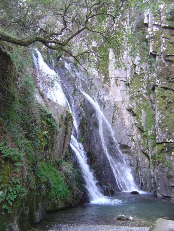
Inserted in the Protected Landscape Area of Serra do Açor, near the village of Benfeita, Fraga da Pena is a kind of replica, on a reduced scale, of Poço do Inferno, in Serra da Estrela. When heading towards Ribeira da Mata, the waters of Barroca das Degrainhas encounter a difference in level of more than 20 meters, forming a waterfall and, below, a small pond. The cliff is covered with moss and surrounded by vegetation. The temperature of the place, even in summer, is extraordinarily low.
Paisagem Protegida da Serra de Açor
- country
Estrada Panorâmica do Alto da Ceira
3305-034, Benfeita
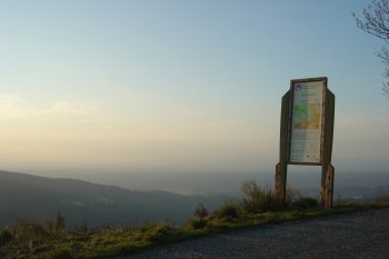
Serra do Açor constitutes, together with Estrela and Lousã, the set of mountain ranges that practically divides Portugal in half. Partly covered by pine forests, the mountain range, which is located within the municipality of Arganil, hides details of rare beauty. The Mata da Margaraça is an example of this scenic beauty, constituting one of the rare samples of natural vegetation on schist slopes in the center of the country. Species such as chestnut, oak, laurel and some holm oaks and laurel trees make up the flora of this protected landscape area. In terms of fauna, we can highlight the …
Percurso Pedestre Socalcos - Relva Velha
- country
Relva Velha
3305, Moura da Serra
Interpretive circuit that is part of the Protected Landscape Area of Serra do Açor. Starting and finishing point is in Porto Cerejeiro. It is 1.6 km long and takes approximately 2 hours. Points of Interest: Ribeira da Mata; view over Mata da Margaraça; terraces; village of Relva Velha.
Piódão
- country
- heritage
Piódão
6285, Piódão
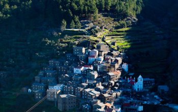
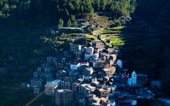
Classed since 1978 as a public interest parish, Piódão is located near the Hermínios Hills and is one of the oldest villages in the country, surrounded by wide green areas. The village was firstly inhavited by sheperds. Its houses are mostly made of schist. Because it is difficult to get to, the village is known for the escape of well known criminals. A special note to its four chapels: Saint João, Saint Bárbara, Our Lady of Saúde (Good Health) and Our Lady of Good Parto. The local gastronomy includes the kid's chanfana, the tigeladas, the pão de ló, the filhós …
Serra do Açor
- country
Serra do Açor
6285, Piódão
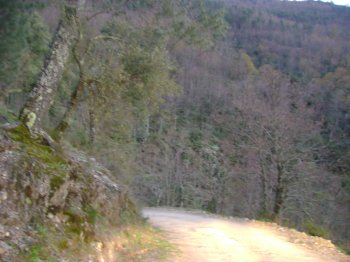
It belongs to the Old Massif, located in the central country, and it is separated from the Estrela Mountain by the Alva river valley. It is 33 km long and 12 km wide. A part of the Protected Landscape of the Açor Hill, it is mostly composed of schist and has strong but roundish contours. At times there are valleys, water courses and interesting places, such as the waterfalls at Fraga da Pena. In this protected area, also a special note to the Margaraça Woods, of huge natural value, a part of the european network of biogenetic reservations. The vegetation …
