Explore the best places
Country in Portugal
Percurso Pedestre da Rota dos Dinossauros (PR1)
- country
Lourinhã
2530, Lourinhã
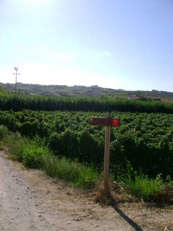
The trail PR1 "Dinossaurs' Trail" starts at the Museum of Lourinhã and ends at the Paimogo Fortress. Along the way, you may visit the Convent of Saint António, the Church of Misericórdia and the Church of the Castle. You may also visit the beaches, namely those of Areia Branca, Vale Frades, Caniçal and Paimogo.
Parque Natural da Serra de São Mamede
- country
Ribeira de Arronches
7300-406, Reguengo
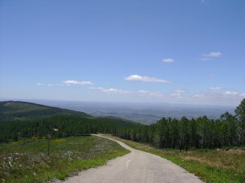
On the plain Alentejo region, the very idea of a hill is like the idea of an oasis in the desert. But that is precisely what the São Mamede Hill Natural Park is. This magnificent set of mountains, the highest to the south of the Tagus river, spreads from Castelo de Vide to the southeast and is topped by the São Mamede Hill (1025 metres maximum height). There are also the Castelo de Vide Hill (762 metres), the Fria (cold) Hill (953 metres) and the Marvão Hill (867 metres). The park includes the municipalities of Arronches, Castelo de Vide, Marvão …
Serra D'Ossa
- country
Serra D'Ossa
7100, Estremoz
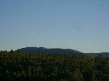
A hill whose peak is at an altitude of 653 metres, located between Estremoz and Redondo. It has a wide variety of plants and animals, namely the insect eating plant "orvalho-do-sol". In spite of the fact that many eucaliptus trees were planted in the 1950s, later destroyed by a fire in 2003, it still remains the "lung" of several parishes in the Alentejo region. It is also where the Convent of Saint Paulo, of 1182, is located.
Ninho da Cegonha
- country
São Vicente
7350, São Vicente
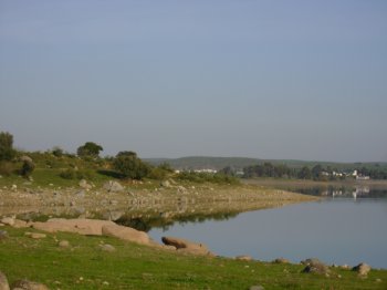
Natural point located at the dam of the Fall that extends along the river falls. The natural beauty of this space is due to the emergent vegetation and the possibility of seeing species of birds such as little Bittern, common Nightingale, the Nightingale-bravo and the great Reed Warbler.
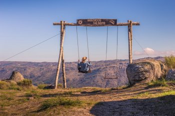
Baloiços da Rapa
- country
Serra da Lomba
6360, Rapa
Baloiços panorâmicos localizados na Serra da Lomba, a uma altitude de 990 metros. Um destes baloiçoes tem vista sobre o Vale do Mondego e o outro sobre a vila de Celorico da Beira.
Percurso Pedestre dos Caminhos Verdes (PR2)
- country
Vila Fria
4610, Vila Fria
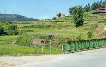
A well signaled trail that starts at the Felgueiras Camping. A 3.7 km walk in a maximum of two hours. The trail is accessible and passes by the Portas House and by Roman Paths, among other monuments of public interest.
Percurso Pedestre dos Caminhos Medievais (PR1)
- country
Vila Fria
4610, Vila Fria
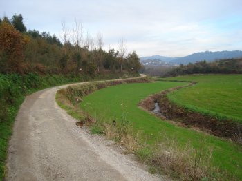
Travel through nature, through medieval paths, always with the necessary directions and historical notes. The walk has a length of 6.2 km, which means 2-3 hours walking. It is possible to pass by the Pombeiro Monastery, by the Vila Fria Bridge, among other points of public interest.
Serra de Sicó
- country
Serra de Sicó
3100, Vila Cã
This hill belongs to the sedimentary shoreline of the Estremadura, located to the east of Pombal. Ith divides the river basins of the Soure and Nabão rivers and measures 7.5 km. It has, in its calcareous body, an original group of caves, grottos and cliffs. The vegetation of the foothills and on the hillsides has cultivated fields of wheat and legumes, pine woods, oak tree areas and a wide variety of plants.
Paisagem Protegida do Corno do Bico
- country
Corno do Bico
4940, Favais - Moselos
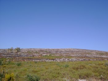
A small natural sanctuary of this parish. A space of rare beauty that was changed by man even though the many local species, both of plants and animals, were never placed at risk.
Pico Ana Ferreira
- country
Pico Ana Ferreira
9400, Ponta do Cabeço
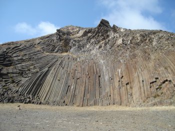
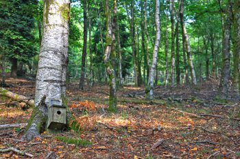
This is a set of prysmatic columns with irregular shapes, popularly known as the "Piano". This is where one can find the Pedreira belvedere, from where one can view the Fora islets and the Facho and Castelo peaks.
