Explore the best places
Country in Portugal
Gruta do Almonda
- country
Moinho da Fonte
2350, Torres Novas
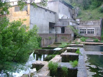
The Almonda Cave is a group of subterranean galleries with an extension of 8 km and vestiges of human occupations from the paleolithic to the roman epoch. The exploration starts along narrow galleries and small rooms. Along narrow pathways, one discovers pre-historic artefacts.
Ulmeiro
- country
Sobreira Formosa
6150, Praça do Comércio
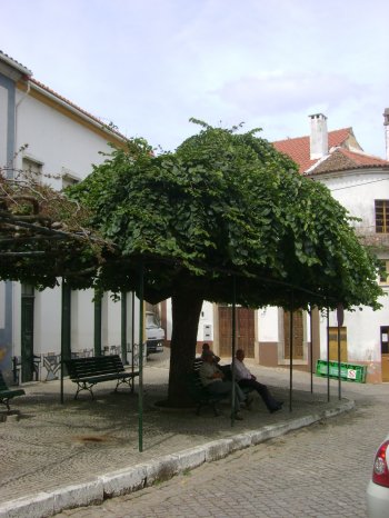
An elm classed as a Living Monument of Public Interest. These trees may reach a height of 30 metres and the flowers, albeit scarce, may give fruits. The wood is used for furnitures, boats and more.
Serra das Talhadas
- country
Sobral Fernando
6150, Proença-a-Nova
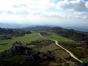
A hill that links the Alentejo to the Beira Baixa, with 27 km and a width of almost 2500 metres. Its hillsides sometimes bypass a steepness of 50%. It crosses Proença-a-Nova, Vila Velha de Rodão and Nisa and it is crossed by the deep valleys of the Tagus and Ocreza rivers. This hill has four geomonuments of the Geoparque Naturtejo and of the Meridional Mesa.
Percurso Pedestre Rota dos Recantos e Encantos (PR5)
- country
EM544
6150, Proença-a-Nova
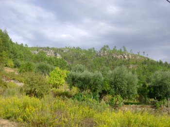
Routing with beginning and end near the river beach of Alvito da Beira. Are 11, 4 km long, with a duration of 3:0 and the degree of difficulty is medium. The main points of interest of this route are the village of Alvito da Beira, the wheel and the Grave Lameira Alvito.
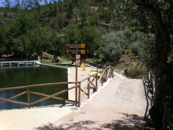
Percurso Pedestre Rota das Conheiras (PR3)
- country
EN351
6150, Proença-a-Nova
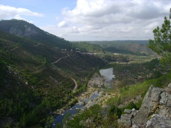
Route starting in the village of Sobral Fernando, with 10 mile long, 3:0 of average difficulty and duration. The points of interest of this route include the Conheiras (extensive heaps composed of pebbles piled up to prove the gold extraction in the Roman era and medieval) and the Watermill and Açude da Várzea das Pedras.
Percurso Pedestre Os "Segredos do Vale do Almourão" (PR2)
- country
EN351
6150, Proença-a-Nova
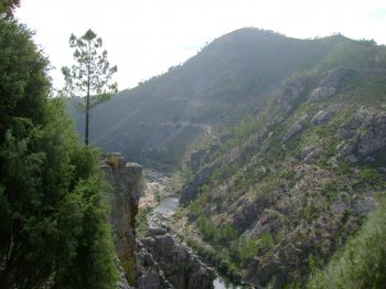
Route starting in the village of Sobral Fernando, with the extension of 6, 5 km, average difficulty and duration 2:0. It will be difficult to stay indifferent to landscape richness that this course provides. Its main points of interest are: the Açude da Foz do Cobrão, Vale Mourão, with obligatory stop at the lookout that gives to this Valley, and the doors of the Almourão. Ends in you carry.
Ilha de Padrões
- country
Ilha de Padrões
3320, Portela do Fojo
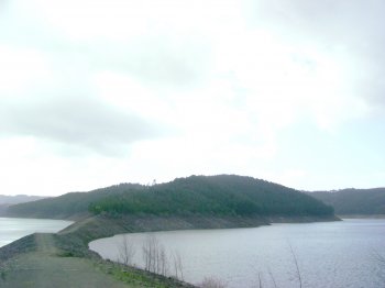
Place of remarkable natural beauty, very popular for water sports. The island is the result of the confluence of the waters of the river and the River Zêzere Tábua.
Parque Natural do Sudoeste Alentejano e Costa Vicentina
- country
São Torpes
7520-089, Sines
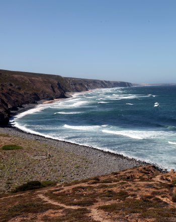
The Natural Park spreads from Odeceixe to Burgau and occupies about 80 km of the coast. That represents the opportunity to view hundreds of plants in their natural habitat. In a sun and silence filled atmosphere, it is a true paradise for the botanists and for people who love wild flowers. The entire territory is considered to be a Site of Particular Interest for the Preservation of Nature.
Cabo Sardão
- country
Cabo Sardão
7630, Cavaleiro
The Cape Sardão is the westernmost point in the coast of the Alentejo region.
Serra do Caramulo
- country
Serra do Caramulo - Caramulinho
3475, Caramulo
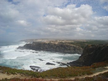
A part of the Old Massif, it is located in the transition region from the Beira Alta to the Beira Litoral, between the municipalities of Vouzela, Tondela (in the district of Viseu) and Anadia (in the district of Aveiro). It is known for its pure waters that flow from a spring in Guardão, renamed Caramulo when it became a small town in 1988. The Caramulinho is the peak of the hill, at an altitude of 1075 metres. The weather is exceptional and there is a resting resort. A special note to the natural belvederes, namely the Cabeço da Neve, the …
